
This map shows a plan of Pittsburgh, and its fort from 1795. This, map, however, is almost 100 years more recent than the time it depicts. From what I can find, this map was published by Samuel W. Durant in the 1876 "History of Allegheny Co. Pennsylvania". It is a reproduction of the original map, which I'm pretty sure is this one, held in the University of Pittsburgh library's digital collection:


The map also shows a number of Islands in the rivers around the city, including this one with the (in my opinion) charming notation "buckwheat grown in 1795". I note that this remark also seems to appear on the original 1795 map.

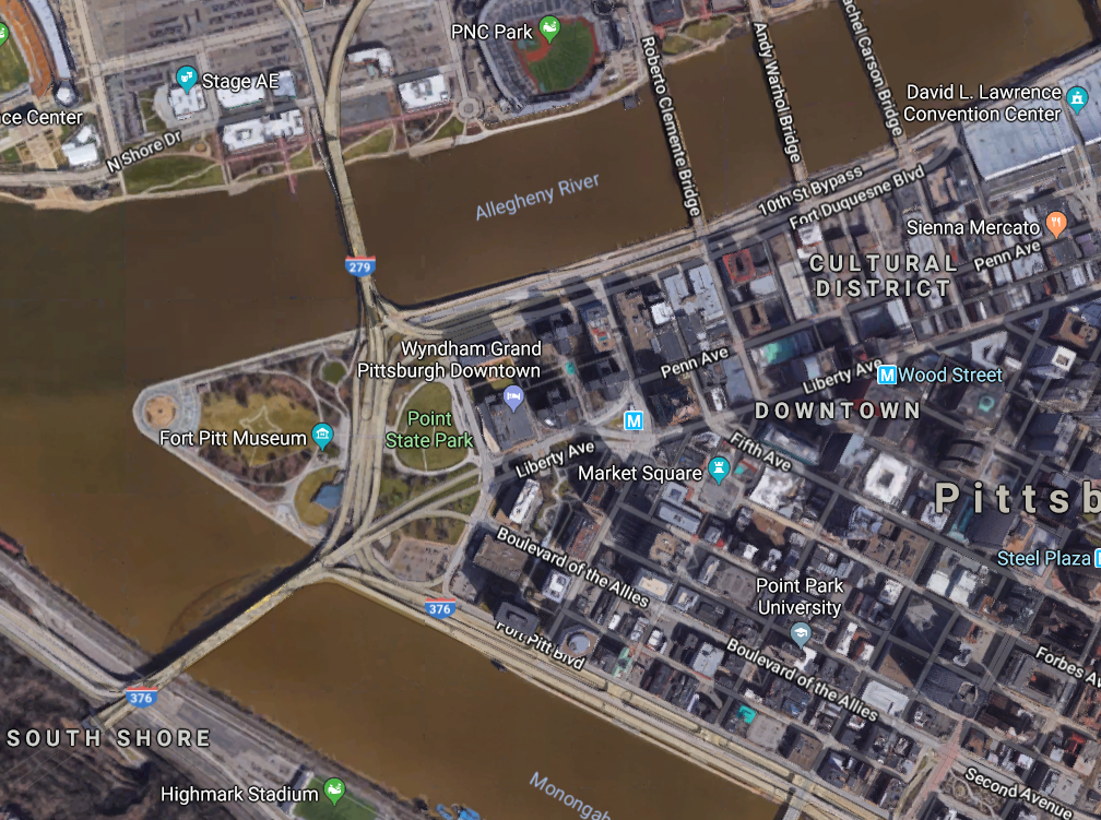
I notice, however, that this map shows a number of islands that seem to no longer exist. This well researched piece explains what happened to the islands, which was in most cases erosion. It makes the map even more wonderful as it shows not only man-made change and development over time but also natural changes to the geographic features of the area. Sure enough, a glance at a modern map of the same area shows no islands in the river at all; just bridges, lots and lots of bridges.
Its always more interesting to see a current version of the map, next to the vintage ones. Not only to see changes, but to guage accuracy of the originals.
ReplyDelete